We have automatically detected that you're accessing our website from: United States
We have many different websites with the products you find here, customized for your country. If you switch to the website specific to your country, you'll be able to enjoy having
your area set as the default domain for all our maps, and your country's most important cities in the forecast overview.
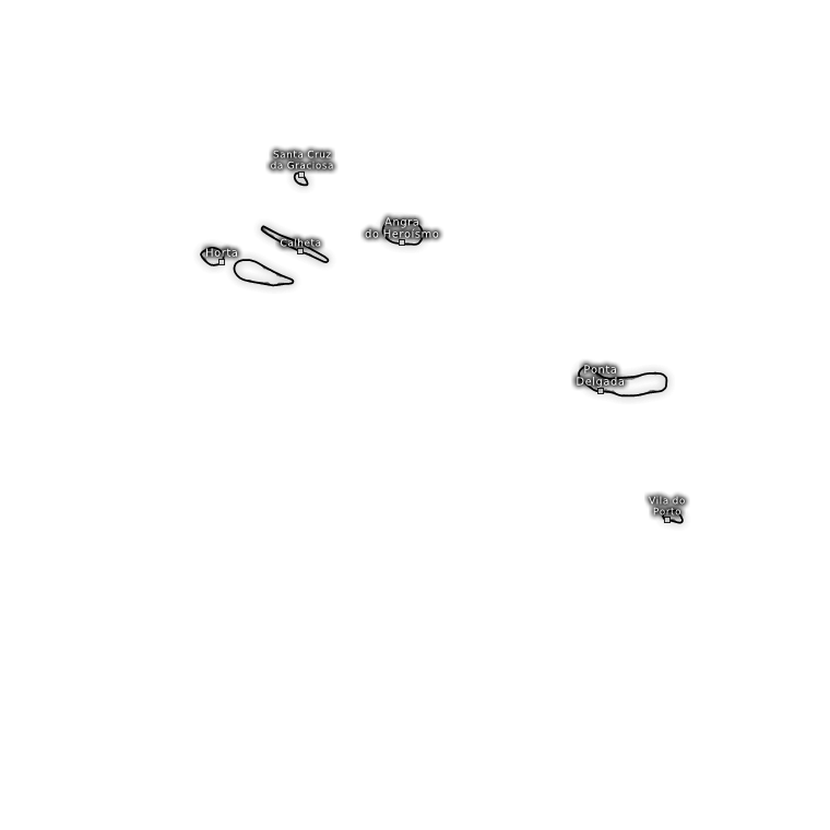
Rasterkarte 27.1 W, 38.1 N (Zoomstufe 3 / Auflösung 750m)
Tropical Cyclone Swiss Super HD (2 Tage) vom 02.10.2019/00z
Luftdruck auf Meereshöhe (hPa)
Updatezeiten: ca. 08:50-09:00 Uhr, 14:50-15:00 Uhr, 20:50-21:00 Uhr und 02:50-03:00 Uhr
Vorhersage von Mi. 02.10.2019 08:00 bis Sa. 05.10.2019 02:00
Wird geladen
Das Laden der Animation kann eine Weile dauern. Die Bilder werden für Sie produziert.
Die Entarchivierung dauert bis zu einer Minute. Bitte haben Sie ein wenig Geduld.
Station
°C
Gemeldet um 12:00 Uhr Uhr
Trajektorien-Prognose
Tropical Cyclone Swiss Super HD
Dieses Wettermodell wird exklusiv für Tropische Stürme, wie beispielsweise starke Hurrikane, von Kachelmannwetter betrieben. Es hat eine extrem hohe Auflösung von 1x1 Kilometer und der Abdeckungsbreich ist variabel. Aufgrund der extrem hohen Auflösung ist der Abdeckungsbereich vergleichsweise klein und kann von uns dem Verlauf eines Tropensturms angepasst werden. Das Modell kann unterschiedliche Regionen abdecken, insbesondere dort, wo gerade starke Tropenstürme aktiv sind.